





BIM
Building Information Modelling (BIM)
BIM is a cornerstone of our innovation strategy, transcending traditional data management to encompass the entire building lifecycle. Operating within a robust Common Data Environment (CDE) and strictly adhering to ISO 19650 international standards and CIC BIM standards, our approach optimises project efficiency and risk assessment from planning through to long-term operation.
We integrate sustainability analytics and carbon footprint evaluation with 5D Quantity Take-Off (QTO) for unparalleled cost control, alongside 4D sequencing to drive site productivity. Through rigorous design clash detection, we resolve conflicts early to minimise construction waste and abortive costs—directly advancing our environmental goals of resource efficiency. This digital ecosystem elevates our social commitment by enhancing site safety via real-time monitoring, ultimately delivering a high-fidelity 'As-built' digital twin that empowers high-performance asset management.
We integrate sustainability analytics and carbon footprint evaluation with 5D Quantity Take-Off (QTO) for unparalleled cost control, alongside 4D sequencing to drive site productivity. Through rigorous design clash detection, we resolve conflicts early to minimise construction waste and abortive costs—directly advancing our environmental goals of resource efficiency. This digital ecosystem elevates our social commitment by enhancing site safety via real-time monitoring, ultimately delivering a high-fidelity 'As-built' digital twin that empowers high-performance asset management.
CASE STUDY
Hin Fat Estate
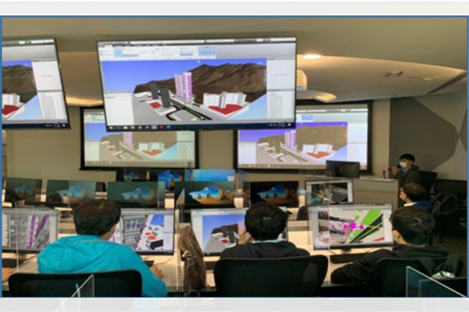
Our cloud-based BIM hub serves as a single source of truth, integrating laser scans, drone topography, and robotics data to enable real-time collaboration and eliminate design conflicts. By Integrating BIM with Geospatial Information Systems (GIS), we visualise environmental and flood risks within a real-world context, enabling proactive hazard mitigation during the design phase. This data-driven approach ensures high-precision delivery, minimised waste, and enhanced safety throughout the project lifecycle.
In recognition of these achievements, the project was honoured the Autodesk Hong Kong BIM Awards 2025.
In recognition of these achievements, the project was honoured the Autodesk Hong Kong BIM Awards 2025.
Hong Kong Science Park - Building 18W
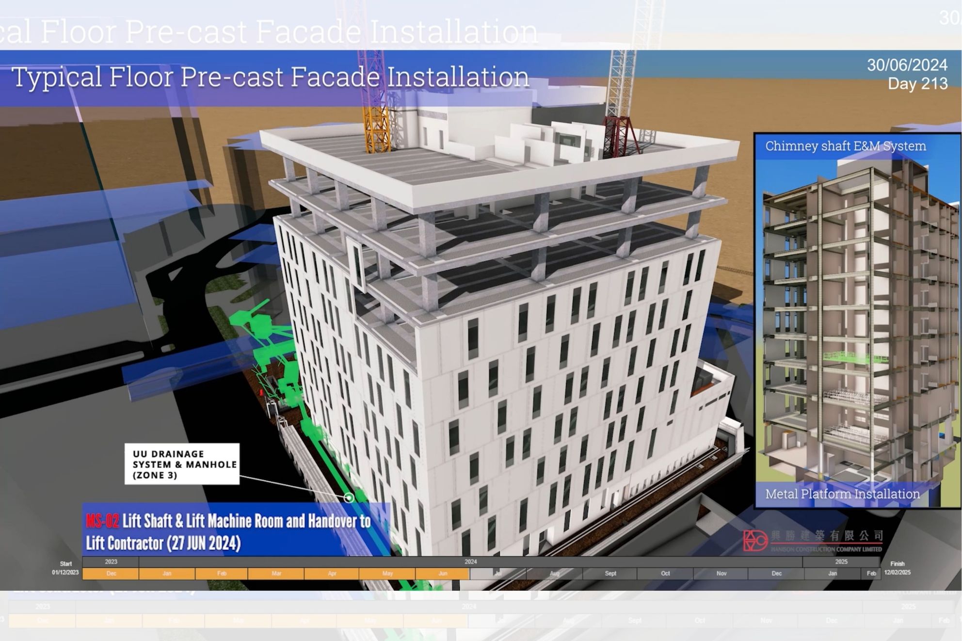
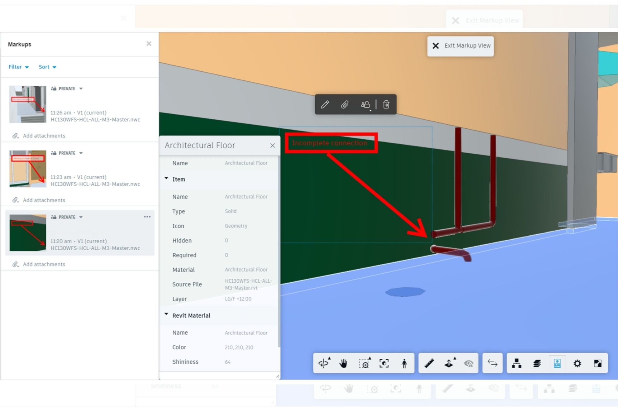
As the main contractor for Hong Kong's first purpose-built laboratory, we utilised an advanced 4D and 5D BIM framework to achieve market-leading safety and efficiency. By synchronising master programs with 5D QTO data, we generated dynamic 4D construction sequences that optimised site utilisation and mitigated risks during high-stakes installations.
This BIM-centric approach attained with BEAM Plus New Buildings V2.0 Final Platinum rating by enabling low-carbon, zero-waste logistics.Our digital workflow spans the entire lifecycle—from utilising point cloud data for precise as-built modeling to delivering mechanical, electrical and plumbing (MEP) digital twin that ensure a seamless transition to long-term maintenance and total stakeholder transparency.
This BIM-centric approach attained with BEAM Plus New Buildings V2.0 Final Platinum rating by enabling low-carbon, zero-waste logistics.Our digital workflow spans the entire lifecycle—from utilising point cloud data for precise as-built modeling to delivering mechanical, electrical and plumbing (MEP) digital twin that ensure a seamless transition to long-term maintenance and total stakeholder transparency.
EIGHT STAR STREET
BIM optimises precast efficiency and clash detection to minimise waste. Updated models facilitate progress tracking and hazard identification within Wan Chai’s dense urban setting, while ensuring high-end design precision through cloud-based collaboration.
4D sequencing and 5D QTO provide precise scheduling and cost control to effectively reduce carbon footprints and control material waste. These data-driven workflows optimise resource allocation and material efficiency, recognising with BEAM Plus New Buildings V1.2 Final Platinum.
4D sequencing and 5D QTO provide precise scheduling and cost control to effectively reduce carbon footprints and control material waste. These data-driven workflows optimise resource allocation and material efficiency, recognising with BEAM Plus New Buildings V1.2 Final Platinum.